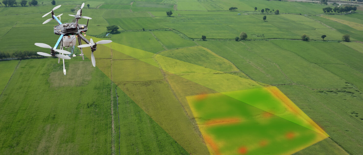
Lidar Drone Mapping – The Future of Surveying
In the past, the general use of LiDAR technology was limited to very specialized and highly funded projects. The introduction of LiDAR technology in commercial products is proving to be a game-changer and a powerful tool in assisting surveyors to better model various land profiles. There is no doubt, that the role of a land surveyor has evolved significantly as technology continues to advance.
While similar technologies such as sonar or radar use sound and radio waves respectively to map surfaces and detect objects; LiDAR, consists of a laser that shoots pulses at a target, and sensors that measure the pulse which bounces back in order to collect data about the target. The data captured can generate finely detailed 3D models of static environments and allows for deeper analysis of land topography, contour modelling, and deformation monitoring. The hardware can be used as a stationary tool by being equipped to tripods or be used in mobile applications by mounting to automobiles, planes, drones etc.
Advantages of a LiDAR drone survey versus traditional photogrammetric surveying is rooted in the method each process uses to collect data. Drones using photogrammetry use traditional cameras to capture actual photos to construct its model, often taking hundreds or even thousands of individual photographs and stitching them together into one detailed model. The final product is an overhead real-world visual of the environment intended to be captured. This method is widely used by various municipalities and regions when updates are made to their aerial mapping databases.
However, limitations of photogrammetric surveying include low point density, low vertical accuracy, and the general inability to map areas under dense vegetation and high foliage. LiDAR sensors on the other hand generate a high density point cloud and a 3D model of the environment which is made possible with strong processing software that is able to process millions of points captured from the survey. LiDAR can effectively penetrate areas with dense vegetation cover and provide higher vertical resolution and accuracy. Also, since LiDAR does not require sunlight, data can be captured in low-light or dark conditions.
The general advantages of LiDAR drone surveying come with a tradeoff as there is a higher cost involved; in most cases, the price of a LiDAR sensor alone will be as much as the cost of an entire photogrammetry data gathering system. A LiDAR based system is generally more complex with dependence on a high-precision satellite positioning system (GNSS) as well as Inertial Measurement Unit (IMU) sensors. For the raw data to be processed correctly into usable information, all these complex subsystems need to work seamlessly together, if an error occurs, often the solution will be to repeat the flight whereas with photogrammetry, errors can be solved in the abundant overlapping images without the need to repeat the flight.
Surveyors are actively adapting LiDAR based mapping solutions for unique projects where traditional methods are not practical. These projects often involve some degree of difficulty for access where crews are unable to capture the necessary information via conventional equipment or busy corridors such as highways or railway corridors that prevent on the ground access. In summary, each project is unique and requires a thorough analysis to determine the best approach; land surveying technology has come a long way and surveyors are endeavoring on the new challenges ahead.
Maaz Malek, O.L.S, O.L.I.P
Director of Field Operations
This publication is provided as an information service and may include items reported from other sources. We do not warrant its accuracy. This information is not meant as professional opinion or advice.

